Overview
Mattituck Inlet is a federal tidal inlet providing a navigable channel from Long Island Sound southward about 2 miles into Mattituck Creek. It’s the only harbor of refuge on Long Island’s North Shore between Port Jefferson and Greenport — roughly 52 nautical miles apart.
The federal channel is maintained to approximately 7 ft depth at low tide with about 100 ft width near the mouth and ~80 ft further in. The depth of the basins within Mattituck range from around 4.7 to 7 feet, though specific depths can vary. Still, you’ll see plenty of large power boats, fishing boats and trawlers cruising and working the creek.
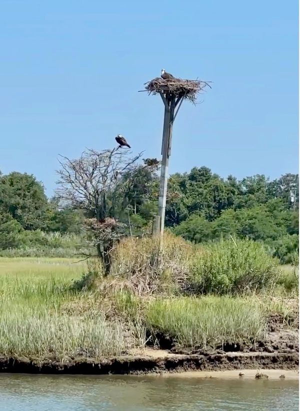
Take your time, and take in the wildlife. It's an osprey extravaganza! Mattituck Creek has some of the highest density of osprey nests on Long Island, and a mesmerizing array of salt marsh-loving birds.
Approach

Approach from Long Island Sound keeping well within the buoyed federal channel. Average tide swing in the inlet can be around 5 ft change from low to high tide.
While the channel is marked, shoaling can occur, and aids to navigation should not be assumed perfectly reliable — always confirm with up-to-date NOAA charts and local notice to mariners before transit.
Plan around tide and weather — entering on an incoming tide generally gives deeper water and more favorable conditions.
Watch for sandbars and shifting shoals near the entrance — they can change seasonally.
Keep a lookout for local boat traffic, especially during summer weekends.